UN
22 Rothbrook Drive
£ 140,000
Description
We don't have a Description for this property.
- Bedrooms
- 3
- Bathrooms
- 0
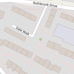


Leaflet © OpenStreetMap contributors
The heatmap indicates the level of crime in the area. The color of the heatmap indicates the crime severity and recency.
Metrics Year-on-Year
- Average area value
- 257,097.00 £Decreased by 8.25 %
- Average area rental value
- 956.00 £/moIncreased by 1.92 %
- Est rental Yield
- 4.46 %Increased by 10.95 %
- Crime Rate
- 27.00 %Unchanged by 0.00 %
from 280,201.00 £
from 938.00 £/mo
from 4.02 %
from 27.00 %
Nearby Schools
| Name | Type | Ofsted | Distance |
|---|---|---|---|
| Goat Lees Primary School | Foundation School | Good | 0.35 KM |
| Sure Steps Children'S Centre | Children's Centre | 0.83 KM | |
| Phoenix Community Primary School | Foundation School | Good | 0.83 KM |
| Towers School And Sixth Form Centre | Academy Converter | Good | 0.99 KM |
| Kennington Church Of England Academy | Academy Sponsor Led | Good | 1.33 KM |
Images
Nearby Streets
| Name | Average Price | Average Sqft | Distance |
|---|---|---|---|
| Briar Close | £ 0 | 0 | 0.00 KM |
| Rookery Close | £ 325,000 | 0 | 0.00 KM |
| Pilgrims Cycle Trail | £ 0 | 0 | 0.00 KM |
| Grosvenor Road | £ 297,500 | 0 | 0.00 KM |
| Underwood Close | £ 0 | 0 | 0.00 KM |
Nearby Transport
| Name | NLC | TLC | Distance |
|---|---|---|---|
| Ashford International | 5004 | AFK | 2.89 KM |
| Wye | 5031 | WYE | 6.08 KM |
Nearby Listings
| Address | Price | Type | Score | Distance |
|---|---|---|---|---|
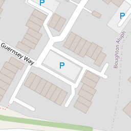
| Guernsey Way, Kennington, Ashford, TN24 | £ 379,995 | BUY | 7 / 10 | 0.11 KM |
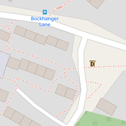
| Bockhanger Lane, Ashford, TN24 | £ 300,000 | BUY | 6 / 10 | 0.16 KM |
| Guernsey Way, Kennington, Ashford TN24 | £ 375,000 | BUY | 7 / 10 | 0.17 KM |
| Guernsey Way, Ashford, TN24 9 | £ 350,000 | BUY | 6 / 10 | 0.17 KM |
| Guernsey Way, Kennington, Ashford TN24 | £ 350,000 | BUY | 7 / 10 | 0.20 KM |
Nearby Properties
| Address | Price | Distance |
|---|---|---|
| 8 Rothbrook Drive | £ 236,000 | 0.00 KM |
| 30 Rothbrook Drive | £ 249,950 | 0.00 KM |
| 16 Rothbrook Drive | £ 250,000 | 0.00 KM |
| 23 Rothbrook Drive | £ 210,000 | 0.00 KM |
| 22 Rothbrook Drive | £ 140,000 | 0.00 KM |